

Credit: CC0 Public Domain
Big data and artificial intelligence are transforming the way we think about healthcare, from detecting diseases and identifying trends to predicting outcomes and accelerating response times.
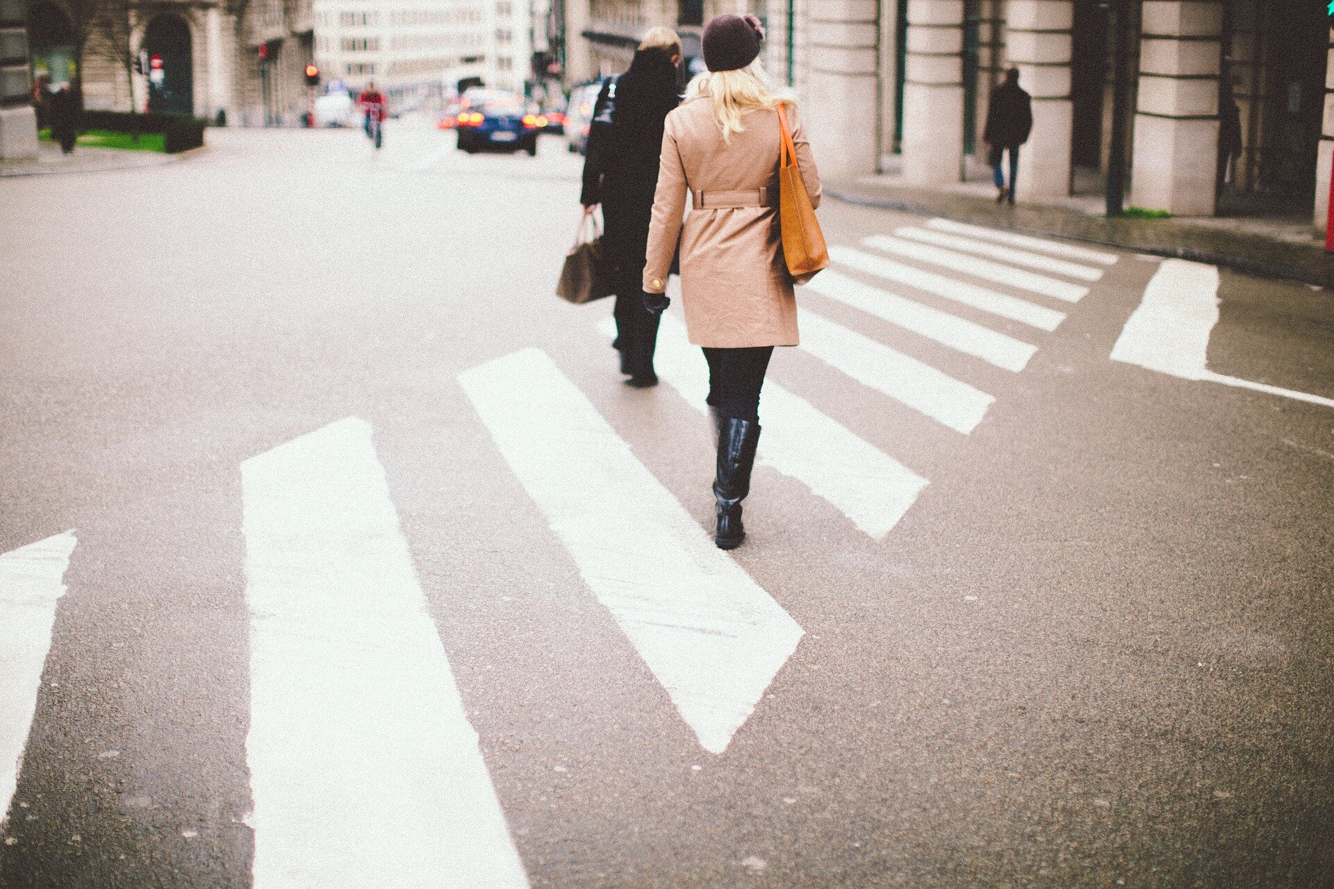
In a new study analyzing two million Google Street View images of New York City streets, a team of researchers from New York University assessed the usefulness of this digital data to inform public health decision-making. Their findings, published in the Proceedings of the National Academy of Sciencesshows how relying solely on Street View imagery can lead to inaccuracies and misguided interventions, but combining it with other knowledge increases its potential.
“There is a lot of excitement around leveraging new data sources to gain a holistic view of health, including using machine learning and data science methods to extract new insights,” said Rumi Chunara, associate professor of biostatistics at the NYU School of Global Public Health, associate professor of computer science at the NYU Tandon School of Engineering and lead author of the study.
“Our study highlights the potential of digital data sources such as Street View images to improve public health research, while also highlighting the limitations of the data and the complex dynamics between the environment, individual behavior, and health outcomes,” said Miao Zhang, a doctoral student at NYU Tandon School of Engineering and first author of the study.
A street-level view of health
In recent years, researchers have begun using Street View imagery to link an area’s environment and infrastructure to outcomes such as mental health, infectious diseases or obesity, a task that would be difficult to measure by hand.
“We know that the built environment of a city can impact our health, whether it’s the availability of sidewalks and green spaces to walk or supermarkets with healthy food options,” Chunara said. “Some studies show that the availability of sidewalks is correlated with lower obesity rates, but is that the whole story?”
“Our motivation for this study was to explore these associations further to see if there are potential factors driving them,” Zhang said.
Chunara, Zhang and their colleagues analyzed more than two million Google Street View images of every street in New York City, using artificial intelligence to assess the availability of sidewalks and crosswalks in the images. They then compared that information with localized data on obesity, diabetes and physical activity from the Centers for Disease Control and Prevention to see if the built environment predicted health outcomes.
The researchers found that neighborhoods with crosswalks had lower rates of obesity and diabetes. However, no significant link was found between sidewalks and health outcomes, contrary to previous research.
“This may be because many of New York City’s sidewalks are in places that people don’t use (along a highway, on a bridge or in a tunnel), so sidewalk density may not reflect neighborhood walkability as accurately as crosswalks,” Zhang said.
They also highlighted issues with the accuracy of AI-generated labels for Street View images, warning that they may not match the “ground truth” and may not be a reliable measure in their own right. By comparing existing data on sidewalk availability in New York City with labeled Street View images, they found that many were incorrectly labeled as having or not having sidewalks, which could be due to the presence of cars or shadows obscuring them in the photos.
If you build it, will they come?
Although crosswalks are linked to lower rates of obesity and diabetes, the researchers applied a public health lens to determine what might explain this association. Their analysis of CDC data revealed that physical activity—not just crosswalks, as measured in Street View imagery—was responsible for the decrease in obesity and diabetes.
In one test, they found that increasing physical activity could lead to a four-times greater reduction in obesity and a 17-times greater reduction in diabetes than could be achieved by installing more crosswalks.
“We found that physical activity drives the benefits of crosswalks, so it’s important to consider these mechanisms, especially when they operate at different levels, such as the built environment versus individuals,” Zhang said.
The researchers conclude that public health decisions should not rely solely on new data sources, but should also consider domain knowledge. When analyzing Street View images, it is essential to integrate computer science knowledge (for example, how image processing techniques can improve accuracy or how to correct for bias in algorithms) and public health knowledge (what determines associations between the built environment and health outcomes). Layering this expertise on top of big data can inform how programs are designed and implemented to improve public health.
In this case, building more sidewalks and crosswalks would be less effective in improving health outcomes than the same increase in physical activity, for example through local exercise classes for the community.
“While growing volumes of digital data can be useful for informing decision-making, our results show that simply using associations from new data sources does not necessarily lead to the most useful interventions or the best allocation of resources,” Chunara added. “A more nuanced approach using big data in conjunction with expertise is needed to make the most of this new data.”
Salman Rahman and Vishwali Mhasawade of NYU Tandon were also authors of the study.
More information:
Miao Zhang et al., Using big data without domain knowledge impacts public health decision-making, Proceedings of the National Academy of Sciences (2024). DOI: 10.1073/pnas.2402387121
Provided by New York University
Quote:How Google Street View Data Could Help Improve Public Health (2024, September 17) retrieved September 17, 2024 from
This document is subject to copyright. Apart from any fair dealing for the purpose of private study or research, no part may be reproduced without written permission. The content is provided for informational purposes only.
