

Credit: Unsplash/CC0 Public domain
As part of the New Deal, several government programs were created to increase homeownership through mortgages and loans. However, neighborhoods with primarily black or immigrant communities were often deemed “unsafe” for repayment under the discriminatory “redlining” practice that restricted lending.
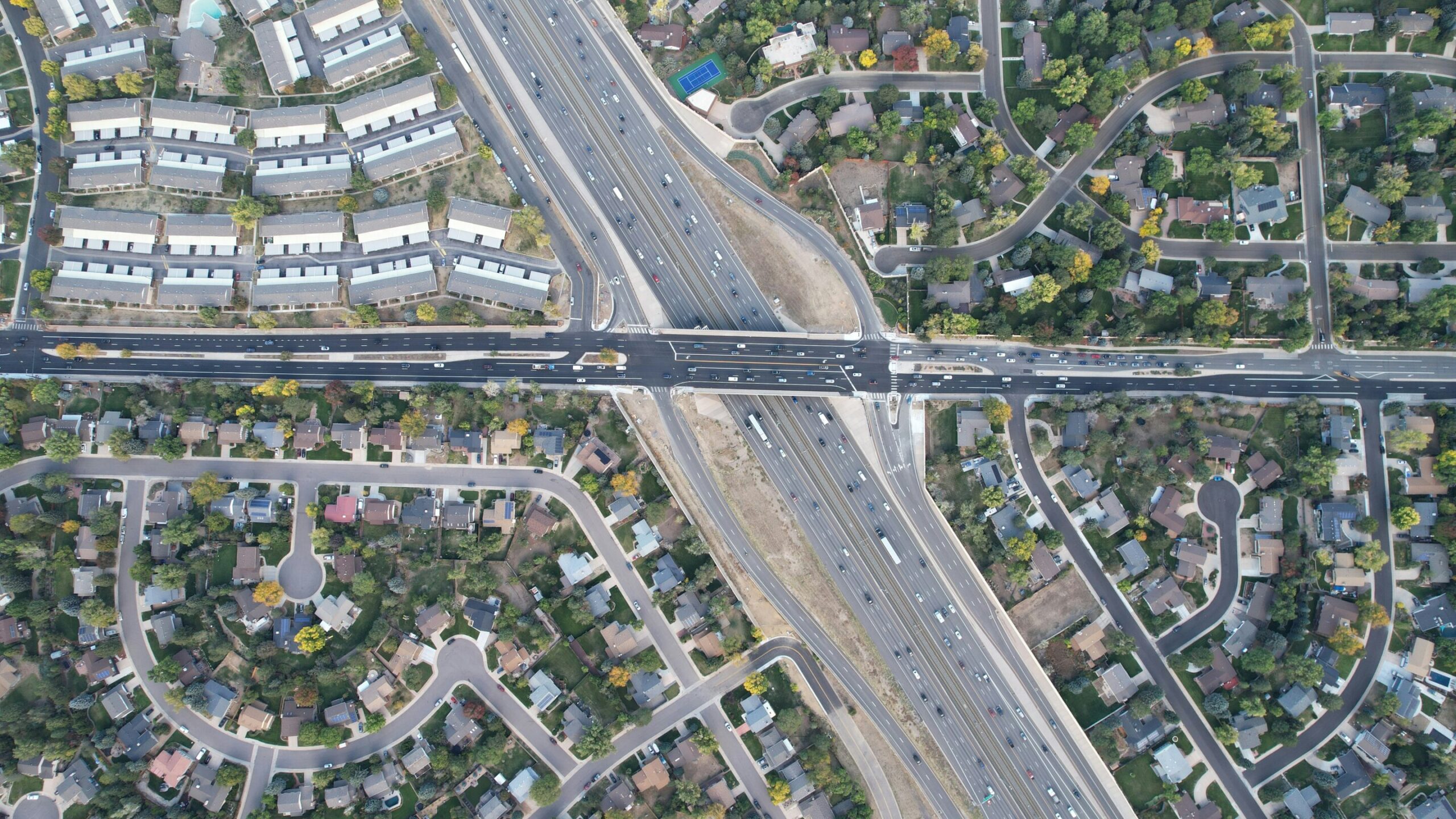
Today, these same areas are exposed to more air pollution than other urban neighborhoods and, according to a study published in Environmental science and technologythe cause could be related to nearby highways or industrial parks.
Between the 1930s and the late 1960s, groups such as the Federal Housing Administration and the Home Owner’s Loan Corporation (HOLC) worked to insure the loans, but they were selective about which neighborhoods would receive this funding. Areas were graded from “A” (least risky) to “D,” which was considered the most risky, and coded red.
These red-marked neighborhoods were often home to black or immigrant communities whose residents were systematically denied mortgages or loans because of the maps. During the same period, many of these communities were crossed by interstate highways, isolating them or completely demolishing them.
Recently, researchers have shown that areas historically redlined have higher levels of air pollution than those with higher ratings, and that similar disparities affect many U.S. cities. Denver is one of these cities, where Joost de Gouw and his colleagues wanted to investigate the origin of pollution. differences.
The team gathered satellite and computer modeling data on nitrogen dioxide (NO2) and fine particles suspended in the air (PM2.5), both of which can be harmful if inhaled. Combining demographic data from the 2020 census and historical maps compiled by HOLC, researchers found that neighborhoods rated “D” had 13% higher NO levels.2 than areas labeled “A”.
Across Denver, neighborhoods where the majority of residents identified as non-Hispanic White and Asian or Asian American were exposed to less NO.2 and MP2.5 as areas where there are groups identifying primarily as American Indian and Alaska Native, as well as Hispanic or Latino.
The researchers also studied possible sources of NO2 and MP2.5 emissions affecting the areas previously highlighted. They found that diesel vehicles emitted about half the nitrogen oxides of road vehicles, while other pollutants, such as benzene, were emitted from other point sources, including nearby petrochemical refineries.
Many of Denver’s highways and major industrial areas, including Commerce City, are surrounded by diverse communities that generally contain fewer people identifying as non-Hispanic white, even though this group makes up the majority of the city’s population. The researchers say this work helps identify areas that could be most improved by sanitation programs such as clean technology incentives.
More information:
Air pollution inequalities in the Denver Metroplex and its relationship to historic redlining, Environmental science and technology (2024). DOI: 10.1021/acs.est.3c03230 pubs.acs.org/doi/abs/10.1021/acs.est.3c03230
Provided by the American Chemical Society
Quote: Highways passing through historically red-marked areas likely to cause air pollution disparities today (February 21, 2024) retrieved February 21, 2024 from
This document is subject to copyright. Apart from fair use for private study or research purposes, no part may be reproduced without written permission. The content is provided for information only.
