

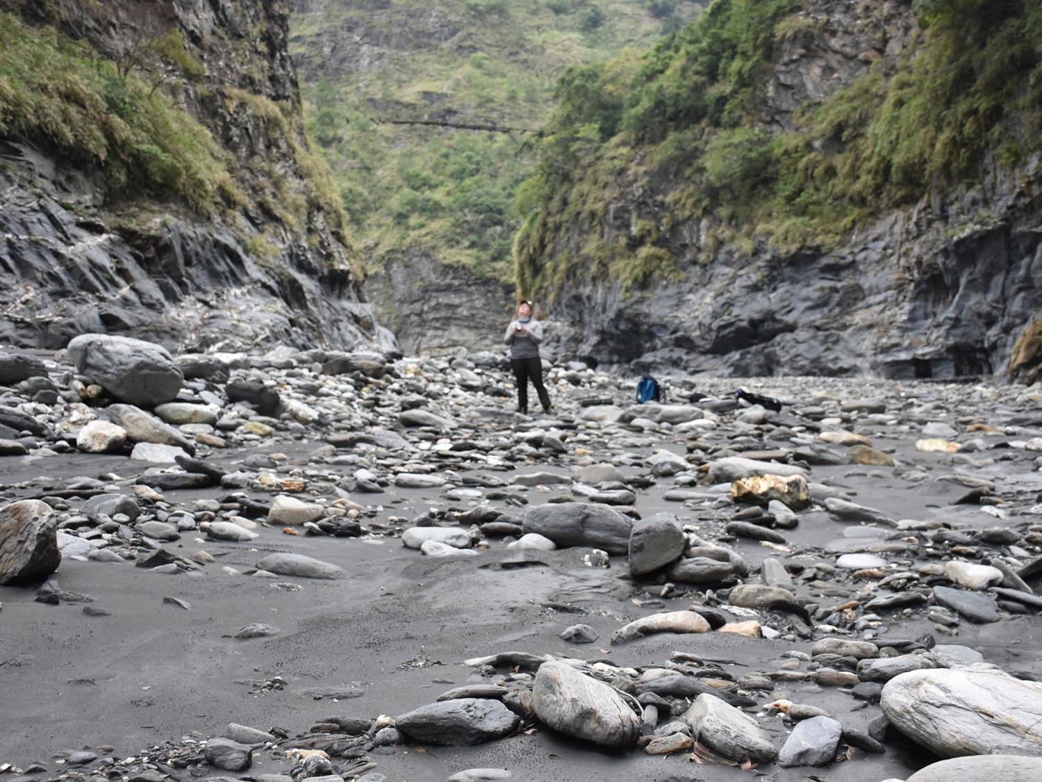
Julia Carr, who earned her doctorate in geosciences at Penn State in 2022, pilots a drone in the Luye Reach in Taiwan’s southeast-central mountains. Scientists used drones to collect hundreds of thousands of measurements of rocks along about 18 miles of rivers and found new clues about how water helps shape mountains. Credit: Julia Carr
Drones flying over miles of rivers in central Taiwan’s steep mountainous terrain and mapping rock properties have revealed new clues about how water helps shape mountains over geologic time, according to a team led by scientists from Penn State.
Researchers have discovered a link between the size of rocks in rivers and the slope of the rivers. The link shows how rock properties can influence the relationship between tectonic processes occurring at depth and the way mountain landscapes change shape. They reported their findings in Scientists progress.
“As a mountain belt develops, we see differences in the way rivers incise or excavate the bedrock in the youngest and oldest sections,” said Julia Carr, lead author of the paper. study, who received his doctorate in science. geosciences from Penn State in 2022. “This means that as a mountain belt changes, erosion changes on the surface.”
When tectonic plates collide and form mountain ranges, rocks that were previously buried in the Earth’s crust are pushed toward the surface in a process called uplift. The temperature and pressure these rocks experience cause variability in their properties, such as rock hardness or fracture spacing and orientation, which then affect how easily they are eroded by surface elements. explained the scientists.
In Taiwan, scientists found that the main characteristic of the strength of mountain rocks was the size of river rocks, which were larger and stronger where the rocks had been buried deeper in the Earth’s crust. And the size of the boulders correlates with the slope of the rivers, which must be powerful enough to move those boulders downstream before eroding the mountain, the scientists explained.
“When the rocks in the channels are larger, the river has to steepen to be able to erode at the same rate,” said Roman DiBiase, associate professor of geosciences at Penn State and co-author of the study. “This is because to erode rock, the sediment covering a river channel must move apart. The larger the rocks in the channel, the steeper the channel must be to move them.”
Models can explain the impact of phenomena such as storms and floods on erosion rates, but it is more difficult to account for the role of rock strength in the process, the scientists said.
“Determining the controls on river incision in rock is important for understanding how mountain ranges evolve over geologic time,” DiBiase said. “But some key parameters for testing river incision patterns, such as flow depth and sediment cover, are difficult to measure on a large scale.”
Researchers have turned to drones to avoid obstacles such as dangerous river crossings and waterfalls to collect data. During these studies, scientists collected hundreds of thousands of measurements of river channel morphology and more than 22,000 measurements of rocks along approximately 18 miles of rivers.

Roman DiBiase, associate professor of geosciences at Penn State, stands on a rock in a riverbed in central Taiwan. Credit: Julia Carr
“This is where it’s really unprecedented — something of this magnitude is really unusual,” said Carr, who conducted the research at Penn State and is now a postdoctoral researcher at Simon Fraser University in B.C. . “It’s exciting to be able to investigate at this scale – it helps us see trends we would never have seen otherwise. If you just went out into the field and surveyed the few places you could reach easily, you wouldn’t observe not this trend.”
Taiwan’s central mountain range is one of the steepest landscapes on Earth and has one of the highest erosion rates of any place outside of glacial or human-influenced areas, said Carr. Additionally, Taiwan’s tectonic setting is well known and exhibits systematic burial depth patterns that can be used to assess the connection between the subsurface history of rocks and their current condition on the surface.
“It’s a unique place because unlike the Himalayas or the Alps, where there are so many complex tectonic histories, Taiwan can be a relatively simple landscape to study because the same collisional forces that created it there “A million years old are still active today,” Carr said. “And these lessons from Taiwan can help inform erosion models that are applied to other mountain ranges with fewer constraints .”
Because of the way the range formed, younger rocks are found to the south and west, while older rocks that were buried deeper, up to 24 miles underground, are found further east and north, the scientists said.
In younger sections, rivers have fewer, smaller rocks covering less area of the channels. As you move toward the oldest sections, the boulders increase to a median size of more than six feet, the scientists said.
According to the researchers, these rocks do not sit in rivers waiting to break up over time. Instead, the rocks in each of the rivers’ sections were near the mobility threshold, meaning the water was almost powerful enough to move them downstream. During high flows after storms, these rocks can be entirely mobile and, as they move, they help to incise the river.

Julia Carr prepares a drone to study a section of the river channel in central Taiwan. Credit: Julia Carr
“One way to think about how rivers incise over the long term: you need to be able to move sediment, and once you cross a certain threshold, you can incise the river,” Carr said. “If we apply that, it implies that this primary rock force signal controlling the size of the boulders creates an incision of the river into the landscape. And that corresponds to the local slope of the rivers.”
Donald Fisher, professor of geosciences at Penn State, also contributed; En-Chao Yeh, associate professor at National Taiwan Normal University; and Eric Kirby, professor at the University of North Carolina at Chapel Hill.
More information:
Julia C. Carr et al, Rock properties and sediment caliber govern bedrock river morphology in the Central Range of Taiwan, Scientists progress (2023). DOI: 10.1126/sciadv.adg6794
Provided by Pennsylvania State University
Quote: Drones capture new clues about how water shapes mountain ranges over time (December 14, 2023) retrieved December 14, 2023 from
This document is subject to copyright. Apart from fair use for private study or research purposes, no part may be reproduced without written permission. The content is provided for information only.
