

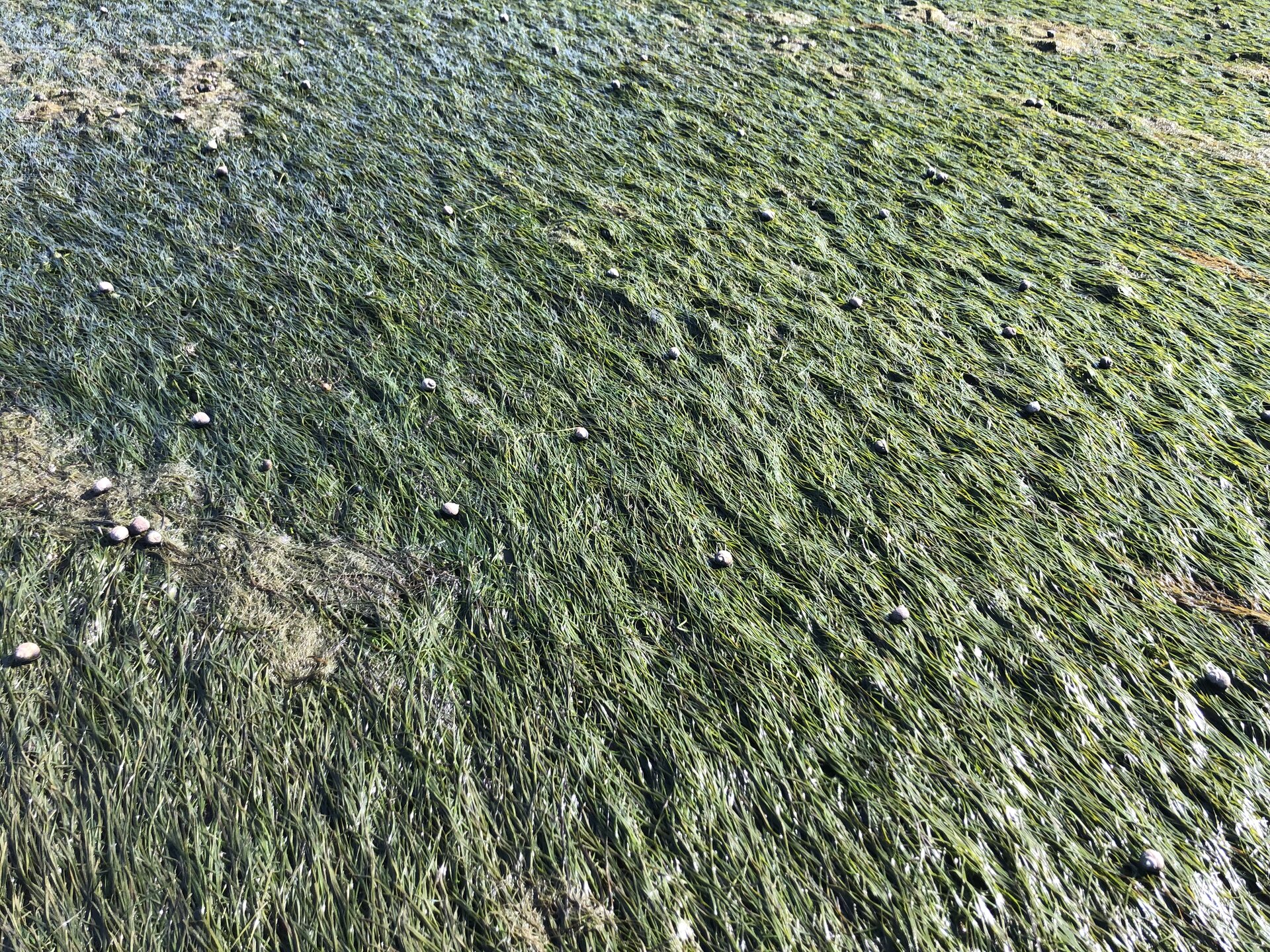
Intertidal seagrass beds. Credit: European Space Agency
Using data from the Copernicus Sentinel-2 mission, researchers revealed seasonal variations in intertidal seagrass beds in Western Europe and North Africa. As a key indicator of biodiversity, these new discoveries offer valuable information for the conservation and restoration of these vital ecosystems.
The intertidal zone is the area where the ocean meets the land between high and low tides, and here seagrass beds can form extensive meadows. These flowering marine plants provide essential habitats, acting as shelter, nurseries and feeding and spawning areas for a wide range of birds, fish and invertebrates. Beyond their ecological importance, seagrass beds also stabilize sediments and protect coastlines from erosion.
Monitoring the occurrence, extent, condition and diversity of intertidal seagrass beds as a key biodiversity variable is essential for assessing the overall health of local ecosystems.
Current global estimates of seagrass cover do not differentiate between seagrasses in the intertidal zone and those in the subtidal zone, which remain submerged below the sea surface.
However, a recent article, published in Earth and Environment Communicationsdetails how a team of scientists used high-resolution imagery from the Copernicus Sentinel-2 mission to demonstrate its ability to map intertidal seagrass beds and their seasonal changes across continents with consistency and precision.
Intertidal phenological events and effects of environmental factors. Credit: Earth and Environment Communications (2024). DOI: 10.1038/s43247-024-01543-z
Bede Ffinian Rowe Davies of the University of Nantes in France and lead author of the paper, said: “Coastal regions, like much of the world, are experiencing rapid and alarming loss of biodiversity. and appropriate measures can be taken to preserve fragile ecosystems.
“Using Sentinel-2 data as part of the BiCOME project, we were able to reveal significant seasonal variations in intertidal seagrass beds. Peak extents shifted by up to five months, challenging previous assumptions according to which there was little or no seasonal fluctuation.”
As an example, the satellite images shown above show changes in intertidal seagrass cover in the Cadiz Lagoon, Spain. One was taken in May 2018 and the other in November 2021.
The satellite images below illustrate the evolution of intertidal seagrass cover in the Bay of Bourgneuf, located north of the Bay of Biscay, off the west coast of France. The image on the left, from April 2021, shows sparse intertidal beds, while the image on the right, from September 2021, reveals abundant growth.
Intertidal seagrass beds of Bourgneuf Bay. Credit: European Space Agency
Victor Martinez-Vicente, principal investigator of the BiCOME project, said: “This study demonstrates the potential of satellite observations to track changes in the extent of natural coastal ecosystems, providing valuable information for indicators of the global framework of the biodiversity. monitoring systems and satellite datasets over time to support global progress towards achieving the framework’s objectives.
Marie-Hélène Rio, from ESA, added: “These new findings clearly demonstrate the value that Sentinel-2 can bring to monitoring intertidal seagrass beds. We now believe that these intertidal meadows behave differently from the type of seagrass that spends most of its life submerged in seawater. This suggests that previous estimates, which lumped the two types together, may be misleading. The research paves the way for further monitoring and assessment of intertidal seagrass beds using Sentinel-2 data. »
The Sentinel-2 satellites each carry a multispectral imager that takes high-resolution images of Earth’s land, islands, and inland and coastal waters. And with a large swath width of 290 km, it provides these images in 13 spectral bands with resolutions of 10 m, 20 m and 60 m.
The third Sentinel-2 satellite, Sentinel-2C, was launched on September 5, 2024 and has already delivered its first images of the Earth.
More information:
Bede Ffinian Rowe Davies et al, A sentinel monitoring the phenology of intertidal seagrass beds in Western Europe and North Africa, Earth and Environment Communications (2024). DOI: 10.1038/s43247-024-01543-z
Provided by the European Space Agency
Quote: Sentinel-2 data reveals significant seasonal variations in intertidal seagrass beds (October 3, 2024) retrieved October 3, 2024 from
This document is subject to copyright. Except for fair use for private study or research purposes, no part may be reproduced without written permission. The content is provided for informational purposes only.
